Singapore is famously flat, but its small green hills punch above their weight. Bukit Timah is one of the oldest patches of primary rainforest left in Asia, Mount Faber gives you the city skyline through tropical canopy, and the Southern Ridges link a string of forest hills together with the most beautiful pedestrian bridge in the country. All of it is reachable by MRT and bus.
Pick your day
The three trips below work on their own or stitched together. A relaxed traveller picks one; a keen walker can do the Southern Ridges in the morning and Bukit Timah in the afternoon. Wear trail shoes — the granite at Bukit Timah is slippery after rain.
Trip 1 · Bukit Timah Nature Reserve
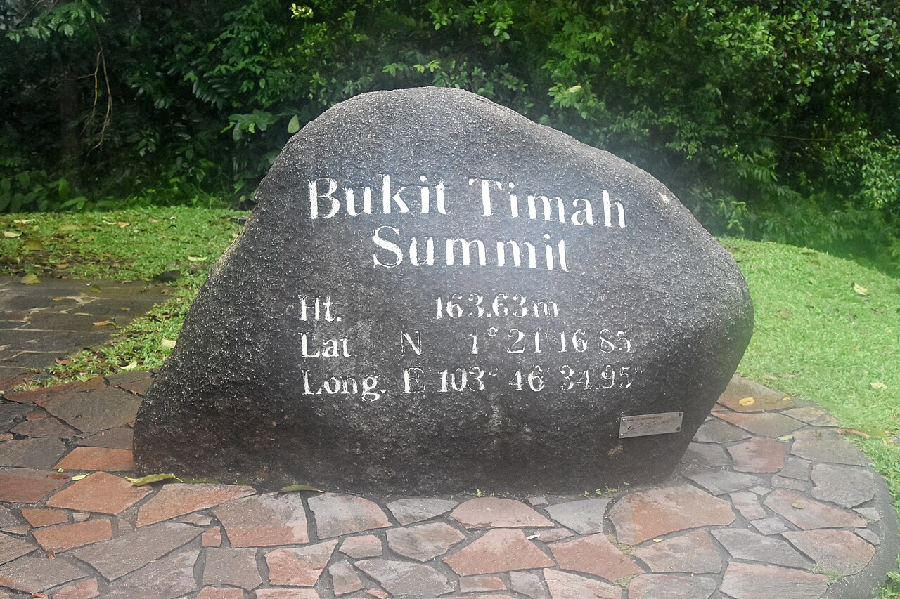
Bukit Timah Hill is the highest natural point in Singapore at 163m and is wrapped in protected primary rainforest. The summit trail is short (about 1.2km one-way from the visitor centre) but properly steep in places. You'll hear macaques, racket-tailed drongos and the occasional flying lemur if you're lucky.
DT5 (Downtown Line) — closest station. From Exit B walk ~10 minutes along Upper Bukit Timah Road to the Visitor Centre.
Start at the Visitor Centre, follow the paved road to the summit, then loop back via the South View Path or Catchment Path for a softer descent. Allow 1.5–2 hours round-trip. Water and toilets at the Visitor Centre; nothing once you start walking, so stock up before you set off.
Trip 2 · Mount Faber & the cable car view
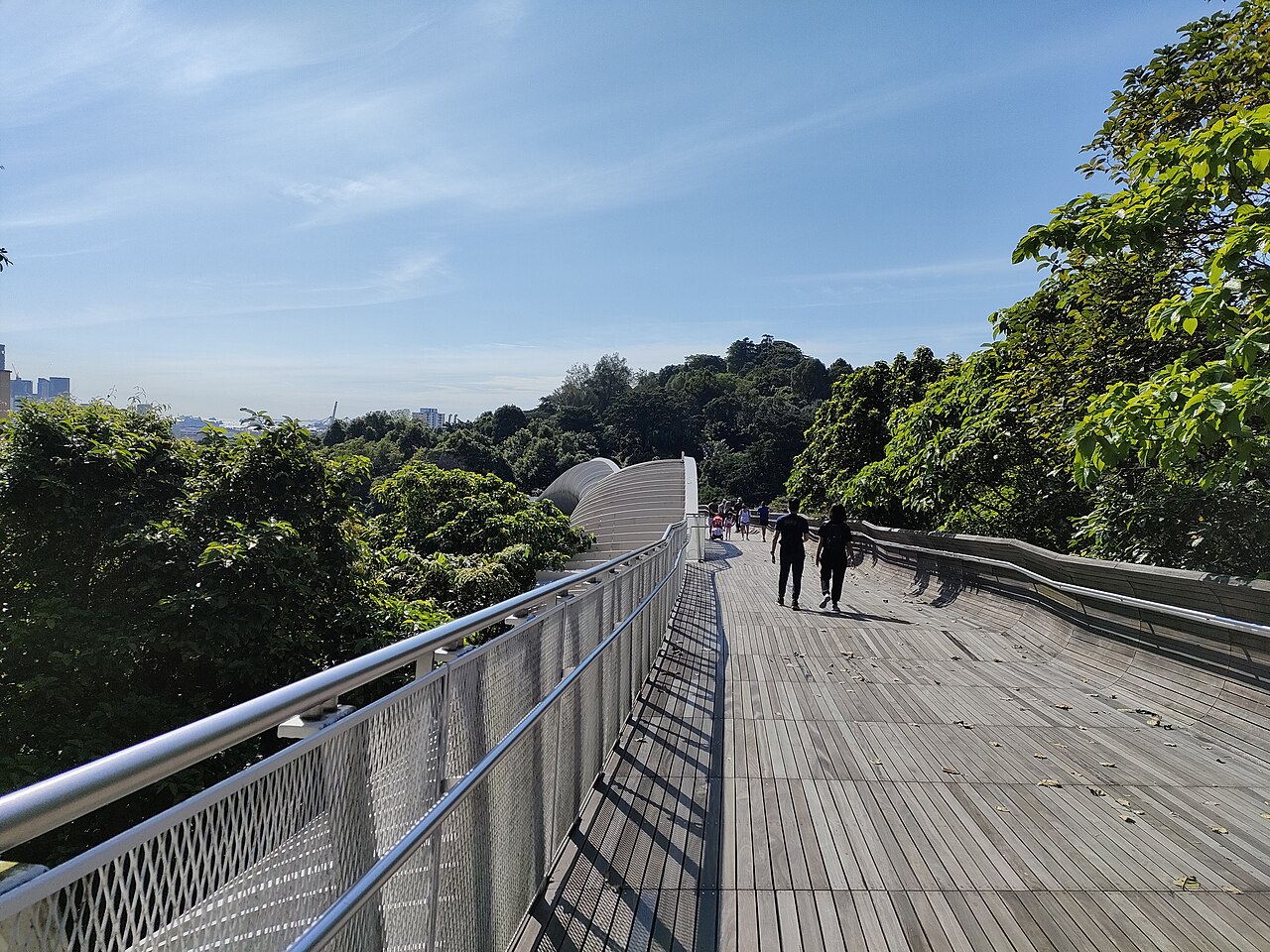
At 105m, Mount Faber is much shorter than Bukit Timah but pays back the climb with one of the best skyline views in Singapore: the harbour, Sentosa, and the high-rises of Tanjong Pagar all in a single frame. There are several ways up — you can hike from Telok Blangah, walk across from HarbourFront, or take the cable car.
NE1 / CC29 — for the cable car (VivoCity station) or to start the Southern Ridges walk from the Marang Trail.
CC28 — cleanest entry for the Henderson Waves bridge and the eastern Mount Faber paths.
The Marang Trail from HarbourFront is the most popular climb — a 20-minute walk through secondary forest that brings you out at the Faber Point lookout. Once at the summit you can wander along Faber Walk, stop at the upper cable car station, and continue across the Henderson Waves bridge to Telok Blangah Hill.
Trip 3 · The Southern Ridges & Henderson Waves
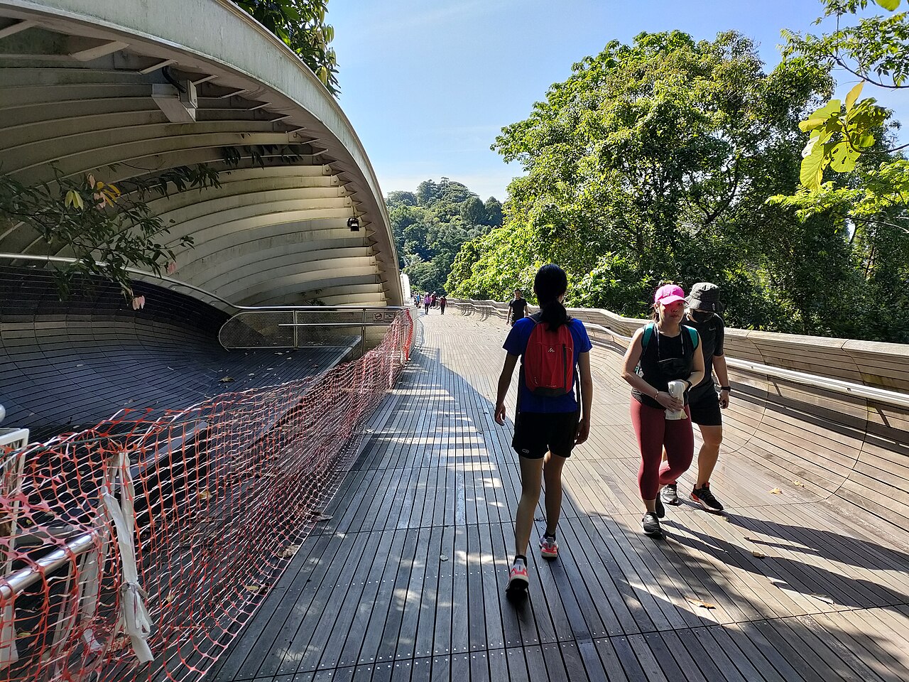
The Southern Ridges is a 10km chain of green hills and elevated walkways linking Mount Faber, Telok Blangah Hill, HortPark, Kent Ridge and Labrador Nature Reserve. The headline is Henderson Waves, Singapore's highest pedestrian bridge at 36m, a sculpted timber arch that curves between Mount Faber and Telok Blangah Hill.
A good route end-to-end:
- HarbourFront MRT → Marang Trail up to Mount Faber Point.
- Cross Henderson Waves to Telok Blangah Hill Park.
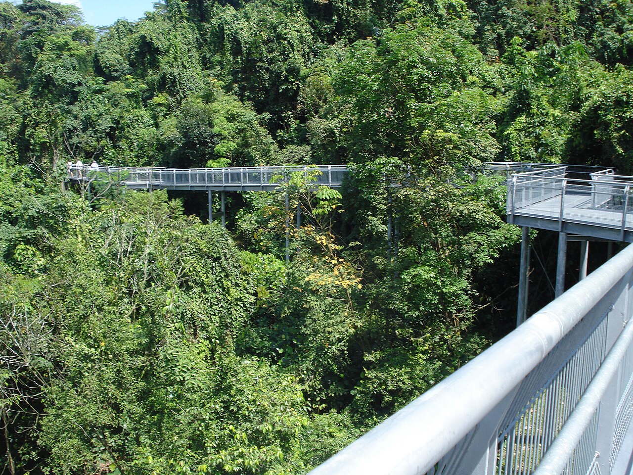
- Follow the Forest Walk (an elevated steel canopy trail) to HortPark.
- Cross the Alexandra Arch and continue along Hilltop Walk to Kent Ridge Park.
- End at Pasir Panjang MRT ·
CC26or Kent Ridge MRT ·CC24.
Total walking time is about 2.5–3 hours, all on paved or boardwalk paths. You can shortcut at any point — HortPark in particular has buses running back to the MRT line if you want to bail early.
Bonus stops if you have more time
- Kent Ridge Park & Reflections at Bukit Chandu — a quiet ridge with one of the city's most moving WWII museums.
- Labrador Nature Reserve — coastal forest, WWII gun emplacements and a boardwalk over the rocks. Reach via Labrador Park MRT ·
CC27. - Telok Blangah Hill Park alone is worth a sunset visit — the western terrace catches the last light over the port.
Practical tips
- Best time: 7–9am for cool air and bird activity, or 4–6pm for sunset on Mount Faber. Avoid midday on hot days — the canopy helps but the climbs are exposed.
- Water: bring at least 1L per person; refill points are at major visitor centres only.
- Monkeys: long-tailed macaques live in all of these parks. Keep food and shiny items inside your bag and don't make eye contact.
- Rain plan: the elevated walkways on the Southern Ridges have no shelter. If thunder is forecast, save the trip for another day.
Why GoBus SG helps here
Nature stops sit at the edge of bus routes — small headways, long waits between buses. With the live arrival board you can finish your walk, glance at the widget, and time the bus exactly. The trip planner will also stitch the awkward "Bukit Timah → Mount Faber" cross-island ride into a single multi-modal route.
Open these stops in GoBus SG
Search any station code or stop name above for live bus, MRT and LRT arrivals — pin a Mount Faber bus stop to a home-screen widget and you'll always catch your ride down.