Long before Raffles arrived in 1819, the waters off Singapore were a busy waypoint on the maritime Silk Road — the network of sea routes that carried Chinese ceramics, Indonesian spices, Indian textiles and Arab incense between East Asia and the Mediterranean. This walking guide follows the trade story across the Singapore River and along Telok Ayer Street, where most of the city's silk-road landmarks still stand within a few hundred metres of each other.
Getting there
Start at Raffles Place MRT on the East-West and North-South Lines, then drop down to the river. The whole walk fits inside the Civic District–Telok Ayer triangle.
EW14 / NS26Best exit: H for the riverside; I for Battery Road.
02049 (Fullerton Sq) for buses 10, 75, 100, 107, 130, 131, 162, 167, 196 — search any code in GoBus SG for live arrivals.
Stop 1 · Cavenagh Bridge & the Singapore River
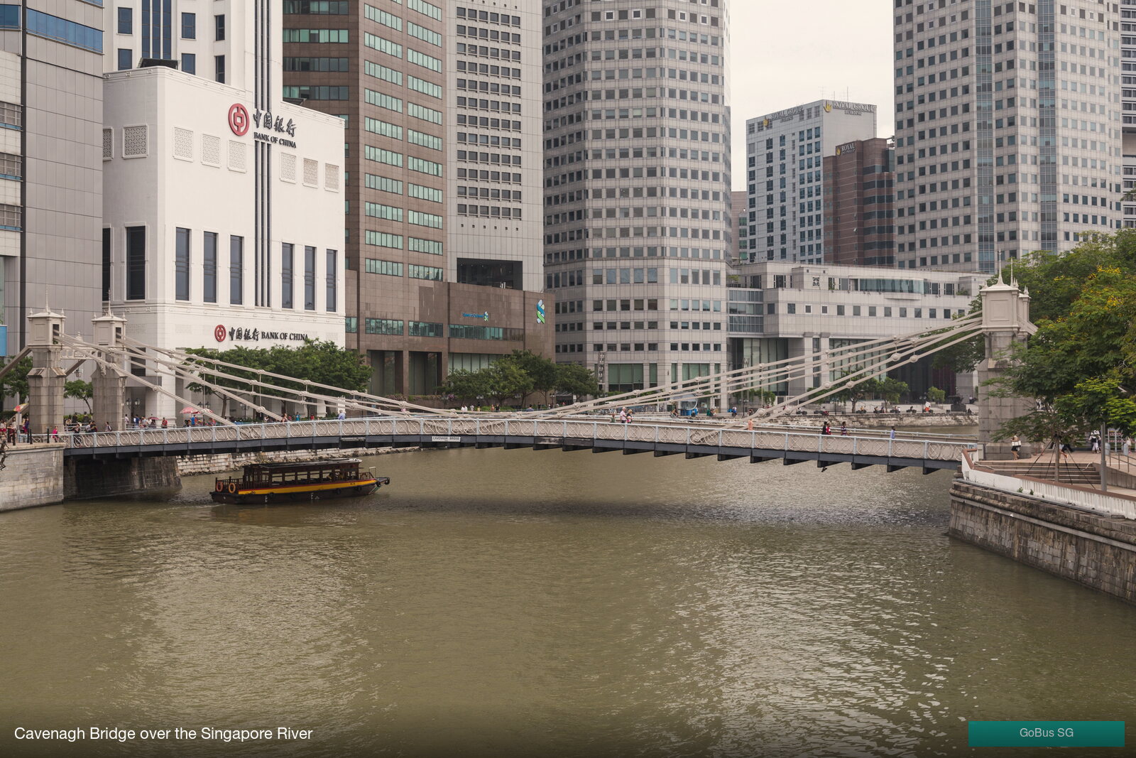
Cross the Cavenagh Bridge — the last 19th-century suspension bridge in Singapore. From here, the river opens north towards the old godowns of Boat Quay where bumboats once unloaded rice, gambier, pepper, rubber and tin. The wooden boats below carry the same outline as the ones that worked the river for a century. Look downstream and you can see where the river meets Marina Bay; for a thousand years before Raffles, that mouth was the corner the spice ships rounded.
Stop 2 · The Asian Civilisations Museum & the Tang Shipwreck
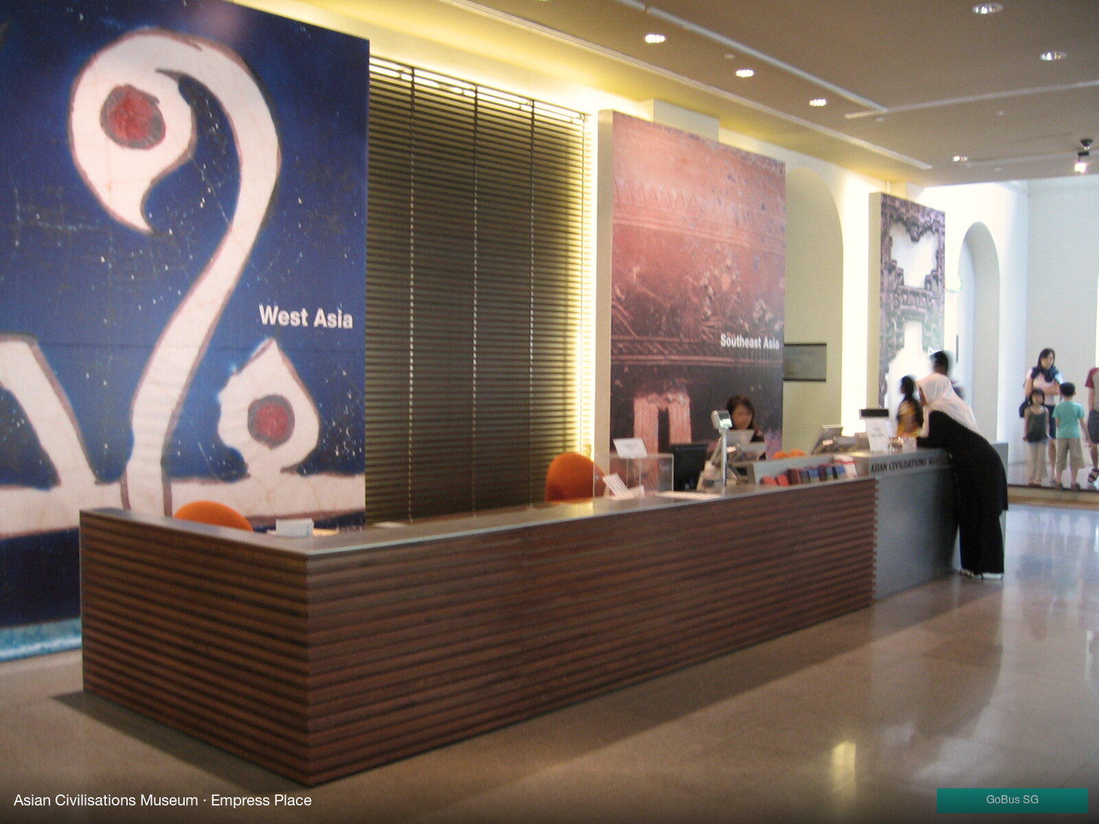
The Asian Civilisations Museum in the 1867 Empress Place Building is the heart of any Silk Road walk in Singapore. The Tang Shipwreck Gallery alone is worth the visit: an Arab dhow that sank off Indonesia in the 9th century with 60,000 ceramic bowls and gold and silver from the Chinese Tang court. It's the earliest direct evidence of a sea route linking Tang China to Abbasid Baghdad through Southeast Asia — and a vivid reminder that the maritime Silk Road came through this part of the world a millennium before the first British godown.
Stop 3 · Empress Place & the old waterfront
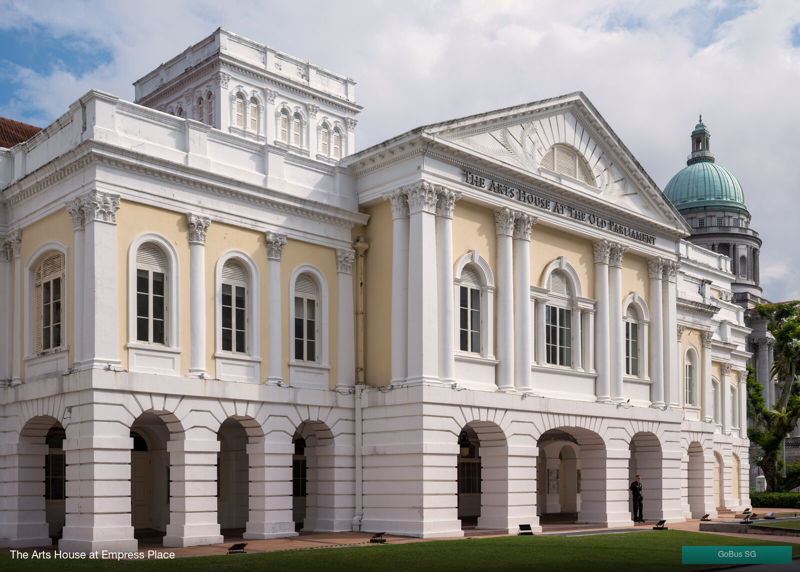
Next door, The Arts House — the 1827 Old Parliament Building — sits on what used to be the river's edge. Everything seaward of here is reclaimed land; in the 1820s the lawn where you're standing was the customs landing point for goods coming off the lighters. Walk a block south and you can still trace the outline of the original shoreline in the curve of the streets.
Stop 4 · Telok Ayer Street — the original Chinese shoreline
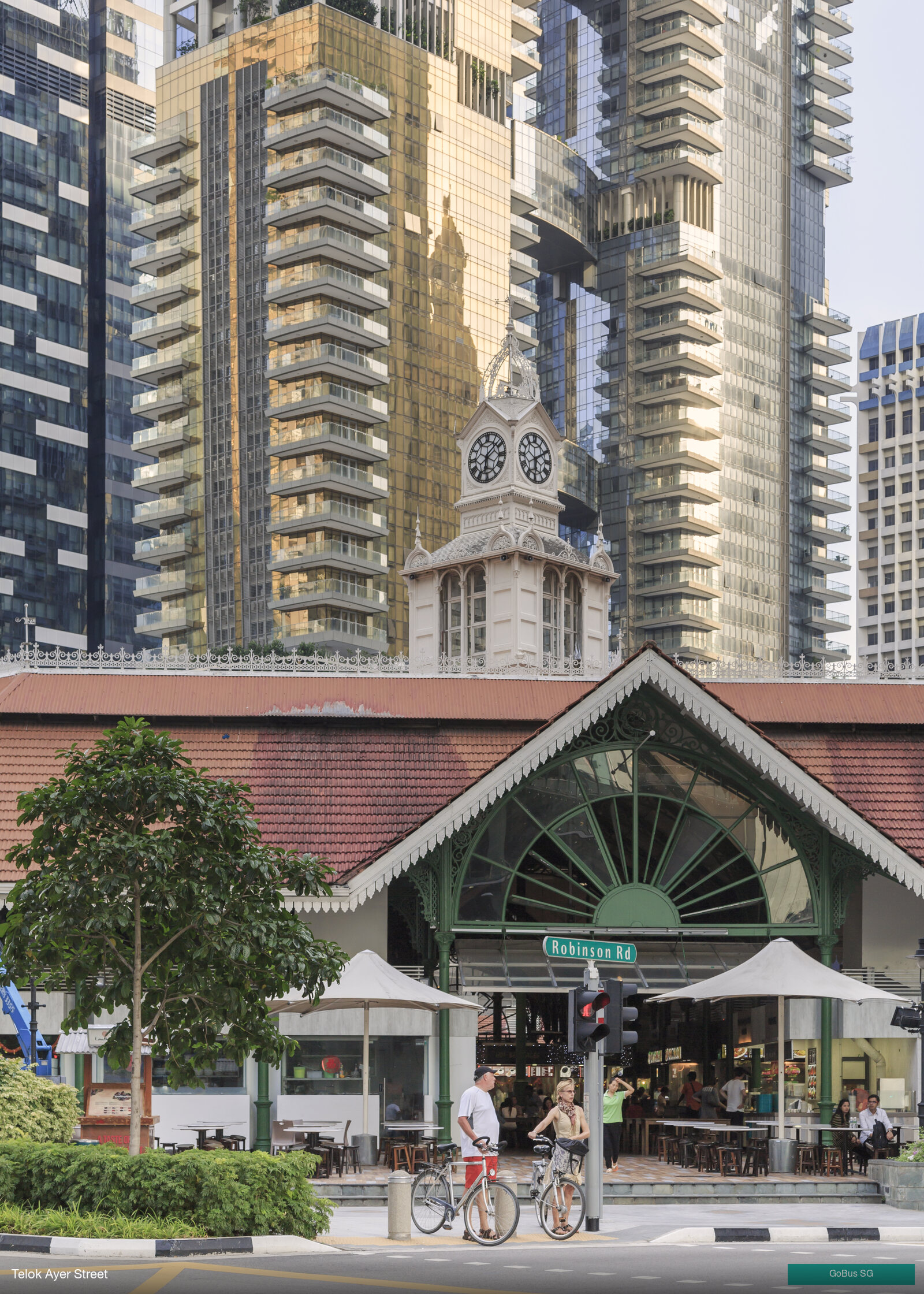
Telok Ayer Street — "bay water" in Malay — was the southern shoreline before reclamation. This is where Chinese migrants stepped off the junks in the 1820s and built temples to thank the gods of the sea for safe passage. Walking south down Telok Ayer, you'll pass the Thian Hock Keng Temple (covered in the Chinatown trail), built by Hokkien sea traders to Mazu, the patron deity of mariners. The bay is gone, but the spiritual map is still in place.
Stop 5 · Nagore Dargah & the Indian Muslim trade
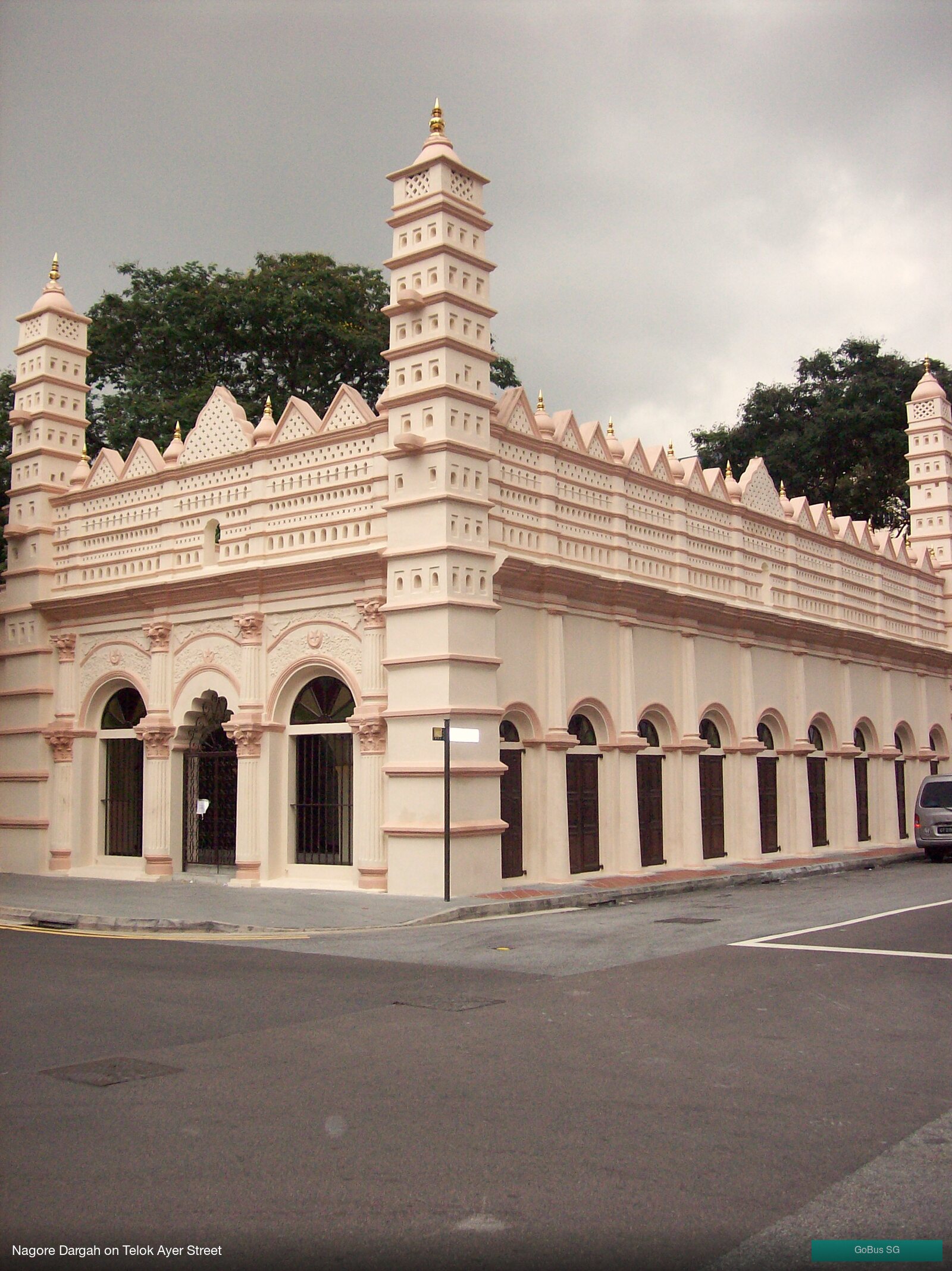
A few doors down stands the Nagore Dargah — a 1827 shrine built by South Indian Muslim merchants from Tamil Nadu in honour of Shahul Hamid of Nagore. Today it houses the Indian Muslim Heritage Centre, which tells the story of the Chulia, Marakkayar and Labbai trading communities who linked Singapore to the Coromandel Coast, the Maldives and Aceh. Together with Thian Hock Keng across the street, the Dargah marks the religious crossroads of the early port city.
Stop 6 · Lau Pa Sat — the Victorian cast-iron market
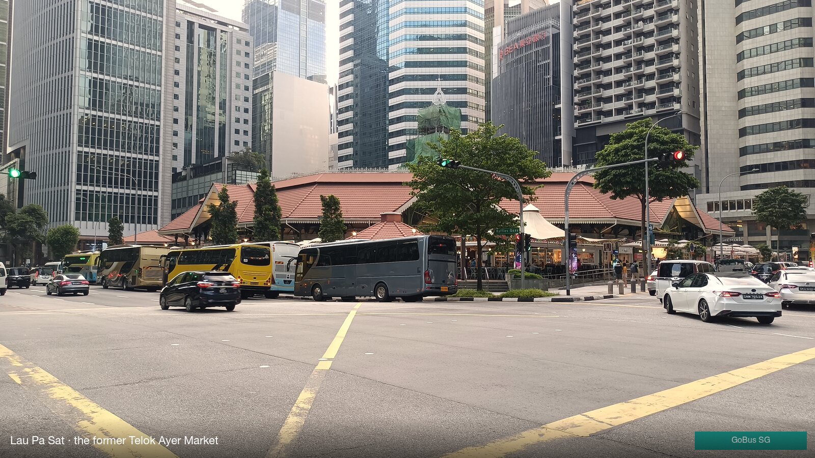
End the trip at Lau Pa Sat — the 1894 cast-iron market designed by James MacRitchie and shipped in pieces from Glasgow. The octagonal Victorian pavilion is one of the oldest surviving structures on the original waterfront, and now houses one of the city's prettiest hawker centres. The satay street outside opens in the evenings — a fitting close for a walk through Singapore's spice-route past.
A walkable order
- Raffles Place MRT (Exit H)
- Cavenagh Bridge & the Singapore River
- Asian Civilisations Museum (Tang Shipwreck Gallery)
- Empress Place — The Arts House
- Telok Ayer Street & Thian Hock Keng Temple
- Nagore Dargah & the Indian Muslim Heritage Centre
- Lau Pa Sat (lunch or dinner satay)
- Telok Ayer MRT or Tanjong Pagar MRT to head home
Best time to go
The Tang Shipwreck Gallery is most rewarding on weekday mornings when it's quiet. Telok Ayer Street's temples are at their most atmospheric in the late afternoon, with the sun low behind the shophouses; Lau Pa Sat's satay street is best after 7 pm, when the road outside the pavilion closes to traffic and the smoke rolls in.
Open these stops in GoBus SG
Search any stop code or station name above in GoBus SG for live bus, MRT and LRT arrivals — powered directly by LTA, with home-screen widgets and train service alerts.